

No Warnings, Watches, or Advisories

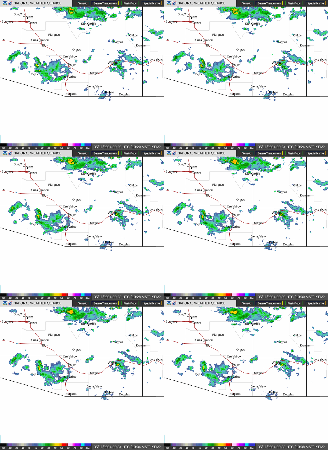
NWS Tucson, Arizona Regional Radar WU South West Satellite
Radar/Satellite images courtesy of NOAA/NWS and Weather Underground.
spacer
Updated: @ 23-Oct-2026 7:56am - next update at 12:00am   updated
Summary / Temperature Wind Rain Cloud Height
Partly cloudy Partly cloudy
Currently: 63.6, Max: 68.4, Min: 62.0 63.6°F
Temp Trend Warmer 1.3°F than last hour.

---

Feels like: 68.1°F

24-hr difference
-9.4°FColder 9.4°F than yesterday at this time.
  Today Yesterday
High: 68.4°F
12:04am
91.2°F
1:48pm
Low: 62°F
7:07am
68.2°F
11:54pm
Fire
Davis VP2 Status
ICN:19 | ISS:Ok | CON:4.7 | RCP:99%
Indoor Temp and Humidity
Indoor Temp: 79.4°F
Indoor Humidity: 43 %
 Wind from W W
0.3
Gust:
0 mph
0 Bft - Calm
Max Gust: 3.5 mph  2:00 AM
1Hr Average: Calm
Max Gust
This Month:
27.0 mph
on  Oct 10
Wind Run: 0.73 miles
Wind Year: 10636.04 miles
Rain Today: 0 in
Rain Rate (/hr): 0 in
Rain Yesterday: 0 in
Storm Rain: 0 in
This Month: 0.53 in
Season Total: 9.95 in
Last Rain
Time/Date:
10/20/2026
at 4:28 PM
52 rain days in 2026
7 rain days in October
Humidity & Barometer Almanac Sun/Moon
Humidity: 72 % Decreased 2.0% since last hour.
High Humidity
Today:
76%
at 7:19 AM
Low Humidity
Today:
64%
at 12:00 AM
Barometer: 29.837 inHg Rising 0.01  inHg/hr
Baro Trend: Steady
Dew Point: 54.4°F Increased 0.5°F since last hour.
Wet Bulb: 58.5
Sunrise: 6:34am
Sunset: 5:43pm
Moonset: 3:55am
Moonrise: 4:13pm
Full Moon: Sun, 25-Oct-2026 9:12pm MST
New moon: Mon, 09-Nov-2026 12:03am MST
Sunlight:
Today:11 h 8 m 25 s
(Noon)
graph
(Midnight)
Waxing Gibbous
Waxing Gibbous, Moon at 11 days in cycle
90%
Illuminated
Current UV Index Current Solar Energy Air Quality
0.6
Sunburn in
187 Minutes
Highest:
7:50 AM
0.6
301 W/m2
100 %
W/m2 ⇒ SI
Highest:
7:50 AM
304
27
  Good
Averages / Records
Average Temperatures This Date Record Temperatures This Date
Average High
84°F
Average Low
56°F
Record High
99°F (2024)
Record Low
29°F (1906)
 NWS Weather Forecast  - Outlook: Today & Tonight
Today

Today: Sunny
Sunny

Hi 77 °F
NWS forecast: Sunny, with a high near 77. West northwest wind 2 to 8 mph.
Davis VP+ forecast: Mostly sunny. Highs 75 to 80. West wind around 10 mph.
 
Tonight

Tonight: Mostly Clear
Mostly Clear

Lo 56 °F
NWS forecast: Mostly clear, with a low around 56. North wind 2 to 6 mph.
NWS Short Term Weather Forecast
Saturday

Saturday: Sunny
Sunny

Hi 77 °F
Saturday
Night
Saturday Night: Mostly Clear
Mostly Clear

Lo 55 °F
Sunday

Sunday: Sunny
Sunny

Hi 78 °F
Sunday
Night
Sunday Night: Mostly Clear
Mostly Clear

Lo 56 °F
Monday

Monday: Sunny
Sunny

Hi 81 °F
Monday
Night
Monday Night: Clear
Clear

Lo 58 °F
Tuesday

Tuesday: Sunny
Sunny

Hi 84 °F
Animated icons courtesy of www.meteotreviglio.com.